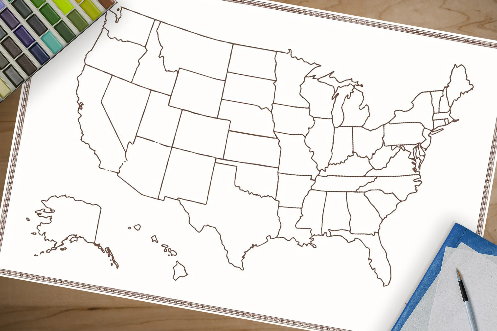
Texas Map
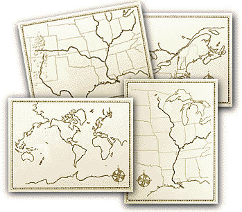
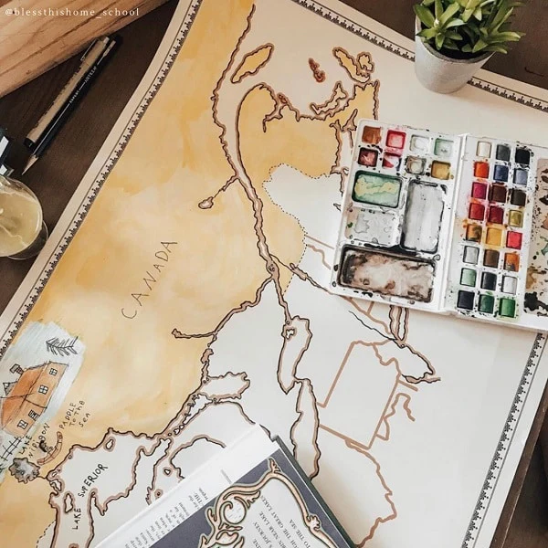
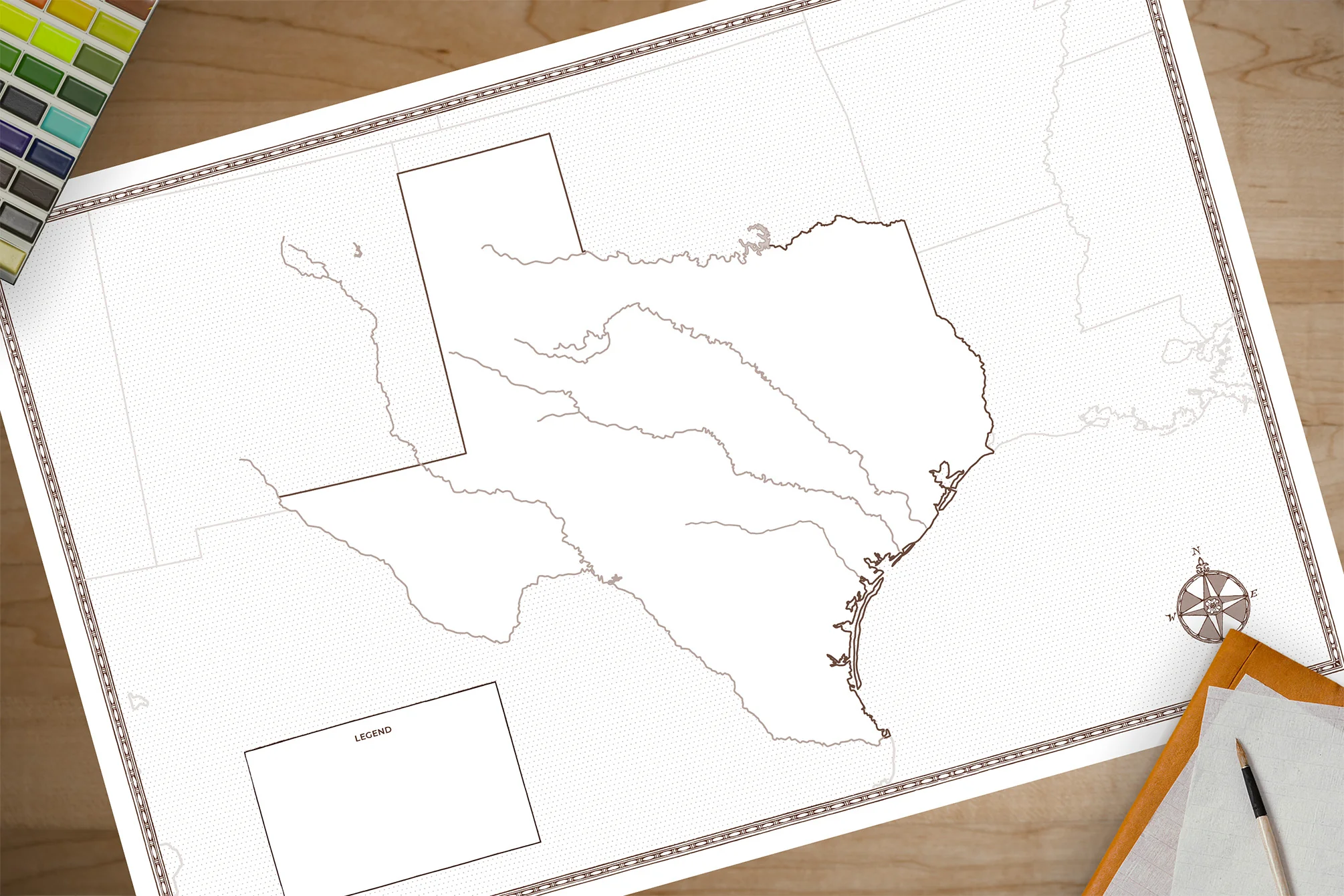
This map of Texas is the perfect companion for your Texas history studies! Printed on heavy-duty card stock, it invites students to label cities, the capital, rivers, regions, landmarks, and more while coloring and personalizing the state as they learn. The map measures 36" x 24" and folds down to 12" x 9" for easy storage. Throughout the year, it becomes a meaningful keepsake—a visual record of all the places, people, and events students have explored.
We recommend that each student have their own map to make notes, add illustrations, and truly make it their own.
Product Information
Product Information
Shipping & Returns
Shipping & Returns
Description
This map of Texas is the perfect companion for your Texas history studies! Printed on heavy-duty card stock, it invites students to label cities, the capital, rivers, regions, landmarks, and more while coloring and personalizing the state as they learn. The map measures 36" x 24" and folds down to 12" x 9" for easy storage. Throughout the year, it becomes a meaningful keepsake—a visual record of all the places, people, and events students have explored.
We recommend that each student have their own map to make notes, add illustrations, and truly make it their own.